
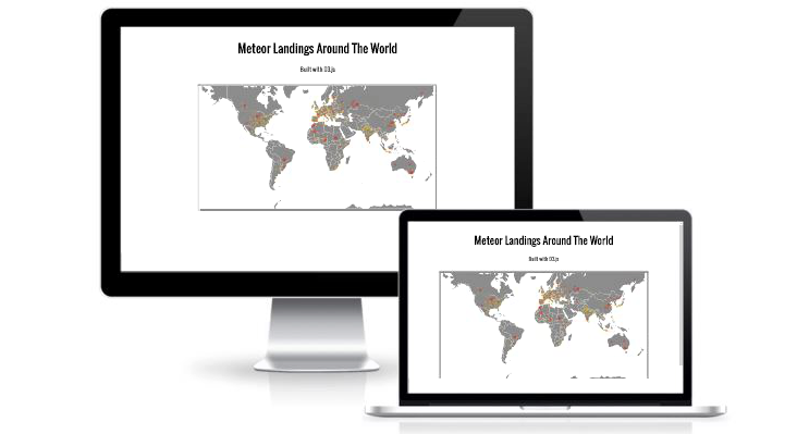
This uses D3 and TopoJSON to generate an interactive map from meteorite landings around the world. Each meteorite display is colored and sized based on the meteorites mass from JSON data. On hover, the user can see more specific data about the meteorite. By calling the zoom function in D3, the map is scalable and can be used to display various geographic areas.
Features
- D3 and TopoJSON for interactive mapping and data display.
- Pan and zoom option enabled for an interesting user experience.
- Color coded and sized according to the mass of each meteorite.
- Tooltip display on hover with extra details.